Completing the Field Survey of the Pori Airport
Before it was time to leave the field work for a long winter break, I had still time for one more gig back in the province of Satakunta. As stated before, we have started a new research project in cooperation with the Satakunta Museum regarding wartime history of the province. As the project is going to be running for a long time, we're now in process of intensive background work in order to focus our resources properly. And as a part of this groundwork, it was time for me to finish the survey around the Pori Airport.
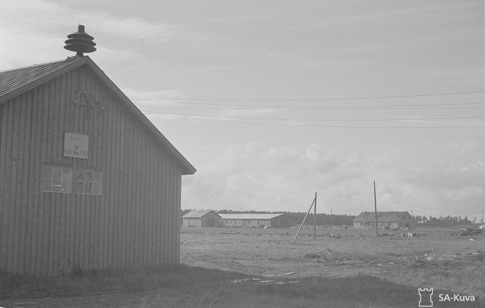 |
| Buildings left behind by the retreating Germans in September 1944. Photo: SA-kuva. |
I was already familiar with the site from before, as I had already started the field survey before and photographed a plenty of WWII aircraft shelters among others. However, this time I was able to bring in some extra help, as I had received a grant by Suomen Muinaistutkimuksen tuki ry for a field survey conducted by archaeology students.
With the assistance of students from the University of Turku, Sampsa Perälä and Samuel Reinikainen, we spent one weekend wandering through the forests surrounding the Pori Airport and documented the remains that I had pinpointed earlier on German maps and lidar data. As the area in question was a dense forest also during the wartime, it was used mainly to hide the German aircraft. Thus, most of our sites included basic aircraft shelters - earthen mounds that once used to have a wooden roof for cover.
Among other buildings included stables, warehouses, a few barracks and even the remains of a massive gun harmonization range for fighter aircraft. Even though almost all buildings constructed by the Germans were either destroyed by the retreating Germans or later by the Finns, many of them are still somewhat visible in the nature either as half-collapsed walls, piles of tiles or moss-covered foundations.
Below are just a few examples on the many features still visible to those with a keen eye and a strong interest in the material history of the WWII.
 |
| Sampsa and the aircraft gun harmonization range. Photo: S. Reinikainen |
 |
| Documenting the flat remains of an aircraft shelter. Photo: S. Reinikainen |
 |
| Better preserved aircraft shelter. Photo. T. Väisänen |
After finishing with our survey, I can happily say that all the needed data from the area surrounding the Pori Airport is now finally collected and can be used for an official survey report released later this year. However, the survey just marks the beginning for the research of the area, as we now only know what still remains in the woods, but we still have a plenty of unanswered questions remaining.
In order to continue with the project, we'll return to our search for archival material and personal stories concerning the airport and the WWII events of Satakunta in general. We're also looking forward to returning to the forests themselves too, as while we might now know what lies visible in the woods, we as archaeologists still have interest in what lies underground!
So, stay tuned for further developments even over the winter, as we're making discoveries in the vast world of archives!


Comments
Post a Comment