Around Satakunta: Figurines and Early Piety of Huittinen
When continuing with the less traveled paths of Satakunta, it's only natural to arrive at the outskirts of Huittinen, which also happened to be one of my favorite destinations over the past summer. Besides being the source of one of the most famous Mesolithic artefacts in Finland, the municipality has much more to offer than one might expect. Here, I will introduce a few of my favorites not only based on their historical importance, but also due to the atmosphere that surrounds them.
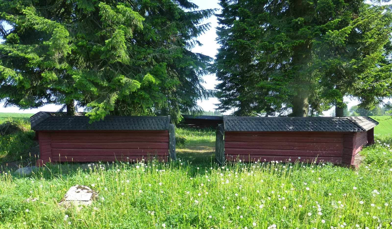 |
| The remains of the old chapel of Tamare. |
Räätikäsvuori
 |
| Some remains of the walls. |
On top of the hill opens up a view to the vast landscape around. There also lies the center of the hillfort itself, which consists of a 50 x 70 meters of leveled ground and remains of stone walls especially on the northern and southern parts. The site is still barely researched and the test pits done in 2001 were all empty, but there's definitely research potential left at the site!
Address: Raskalantie 95
ETRS-TM35FIN: 6795313, 268950
There's no parking area at the site and the unnamed road that passes by is in private use. However, I'd suggest turning to the road at Raskalantie 95 crossroad and driving until the road splits left and the "private road" -sign appears. Then there's only a short walk to the pathway towards the top. Remember to bring a thermos full of coffee, as the place is ideal for a short pit-stop!
Palojoki
 |
| Elk's Head. Photo: Rauno Träskelin |
The aforementioned famous Mesolithic artefact is obviously none other than the Elk's Head of Huittinen. It's a soapstone figurine dated to the Mesolithic period, making it potentially the oldest figurine found in Finland. The figurine was discovered in 1903 by a farm worker on a potato field and the area has been excavated afterward, revealing stone tools and quartz flakes among others.
While Stone Age sites are rarely visible above ground, you can at least find a memorial stone from the early 20th century and a newer information plaque about the history of the site. Pay attention to your surroundings as well, as the dwelling site extends beyond the small forested area and remains from the Stone Age can be seen even on the topsoil of the fields. However, if you want to see the Elk's Head itself, you'll have to make a longer detour to the National Museum!
Address: Hirvenpääntie 39
ETRS-TM35FIN: 6780163, 270793
There are signs to the destination and even a small parking area, so it's a convenient place for a visit. Do note the name of the road as well, as it literally means "elk's head road"!
Tamare Chapel Ruins
Before the village of Vampula had gotten its first church, a group of local peasants showed initiative and decided to build a small chapel. It was finished by 1590 and became a site where priests from Huittinen arrived to hold masses to the locals. Now the chapel is long gone, but some of its stones are still visible at a site that's surrounded by fences and tall trees.
The chapel site is not only an interesting place for a quick visit, but there's a beautiful view opening from the chapel towards the lake Kiltajärvi. It also lies right next to the local museum, which sadly was no open when I visited the area, but probably is worth visiting.
 |
| View from the chapel. |
The chapel site is not only an interesting place for a quick visit, but there's a beautiful view opening from the chapel towards the lake Kiltajärvi. It also lies right next to the local museum, which sadly was no open when I visited the area, but probably is worth visiting.
Address: Soinilantie 22
ETRS-TM35FIN: 6773165, 268073
There's no parking area at the site itself, but drive to the aforementioned address, where the museum itself lies and walk to the chapel.
-----
After enjoying the scenery at Tamare, I would recommend heading to the nearby center of Vampula for some refreshments. As a bonus, I will share one more site with you, although I won't share a photo of this beauty, as otherwise it would ruin the point of visiting it!
Varekivi (bonus site)
Varekivi is an old boundary stone marking the border of Mauriala, Loima and Salmenoja villages. The site has been marked on maps ever since the 18th century, but it might be much older than that. It consists of the main boundary stone itself and four other stone constructions that showcase the directions of multiple borders. If you're used to simple boundary rocks, this one is definitely something else to see!
While the site might not be too exciting historically, I found it visually appealing. It's also located on a rocky "island" in the middle of a swamp, so reaching it is already an adventure! Thus, I won't even share further instructions, as with this one, the journey and finding your own path is definitely part of the charm! Just remember to pack something to drink, don't visit the site during a rainy season and don't get swallowed by the swamp! Personally, I think that visiting this site should be a mandatory exercise for any aspiring field archaeologist!
ETRS-TM35FIN: 6782813, 261802
-----
If not including the swamp adventure in the end, the route through all the sites from the hillfort to the chapel ruins is around 30 kilometers and visiting all sites shouldn't take much longer than an hour and a half depending on your interest in enjoying the scenery!
There's no parking area at the site itself, but drive to the aforementioned address, where the museum itself lies and walk to the chapel.
After enjoying the scenery at Tamare, I would recommend heading to the nearby center of Vampula for some refreshments. As a bonus, I will share one more site with you, although I won't share a photo of this beauty, as otherwise it would ruin the point of visiting it!
Varekivi (bonus site)
Varekivi is an old boundary stone marking the border of Mauriala, Loima and Salmenoja villages. The site has been marked on maps ever since the 18th century, but it might be much older than that. It consists of the main boundary stone itself and four other stone constructions that showcase the directions of multiple borders. If you're used to simple boundary rocks, this one is definitely something else to see!
While the site might not be too exciting historically, I found it visually appealing. It's also located on a rocky "island" in the middle of a swamp, so reaching it is already an adventure! Thus, I won't even share further instructions, as with this one, the journey and finding your own path is definitely part of the charm! Just remember to pack something to drink, don't visit the site during a rainy season and don't get swallowed by the swamp! Personally, I think that visiting this site should be a mandatory exercise for any aspiring field archaeologist!
ETRS-TM35FIN: 6782813, 261802
-----
If not including the swamp adventure in the end, the route through all the sites from the hillfort to the chapel ruins is around 30 kilometers and visiting all sites shouldn't take much longer than an hour and a half depending on your interest in enjoying the scenery!
 |
| Enjoying the beautiful landscape on the way to Varekivi. |


Comments
Post a Comment